Baltimore to see upper 60s Tuesday before late-week storm arrives
Residents can expect warm afternoons through Veterans Day, followed by a sharp drop in temperature and potential rain starting Thursday.
By Jillian Foster ·
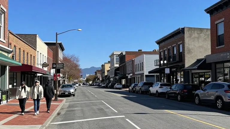
Upper 60-degree highs in Baltimore this Tuesday will mark the warmest point of the week before a storm system moves in from the west. Inland communities may reach 70 degrees during the afternoon, following a cold morning. The pleasant conditions continue through Veterans Day on Tuesday, when mid-60-degree temperatures are expected under clear skies.
These outdoor-friendly conditions will last only until late Wednesday. A weather system approaching from the west is likely to bring the first showers after sunset on Wednesday. This marks the beginning of a shift toward cooler and wetter conditions for the region.
Temperatures will drop noticeably between Thursday and Friday. Light rain and drizzle are forecast to arrive as early as Thursday morning. The chance of precipitation increases across the state during this period. While Baltimore is most likely to experience cold rain, forecasters note that adjustments to the prediction are possible as data updates.
Western Maryland faces different conditions. Rain in the far west could mix with wintry precipitation from Friday into Saturday. The first measurable snow of the season is possible in the highest elevations of Garrett and Allegany Counties. The First Alert Weather Team is monitoring updated data to track the evolving forecast throughout the week.