First Alert Issued as Heavy Rain and Strong Winds Hit the Valley
A low-pressure system will deliver over two inches of rain to central regions by Monday night, with gusts reaching 35 mph before shifting north.
By Diego Mendoza ·
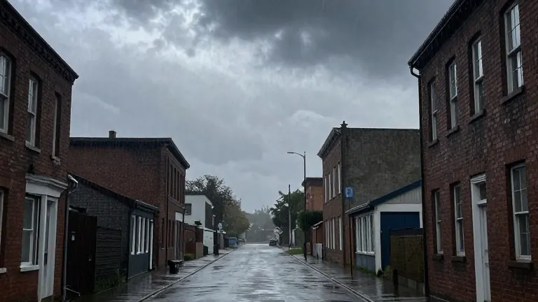
Meteorologists have issued a First Alert for the Northern Plains as a powerful low-pressure system drives heavy precipitation and strong winds across the region. The weather pattern is set to persist through Election Day before giving way to drier conditions by the weekend.
Rainfall totals will vary geographically. Areas in the central and southern valley, parts of southeast North Dakota, and Lakes Country are expected to receive more than two inches of rain. In contrast, the northern and western sectors will accumulate less than one inch. The three-day total is projected to reach two to three inches across a wide swath, with locally higher amounts in the southern valley and west-central Minnesota.
Wind conditions will be a major factor on Monday. East winds will gust between 25 and 35 mph throughout the day. These winds will shift to a northerly direction in the evening and maintain gusts above 30 mph into Tuesday morning before gradually decreasing.
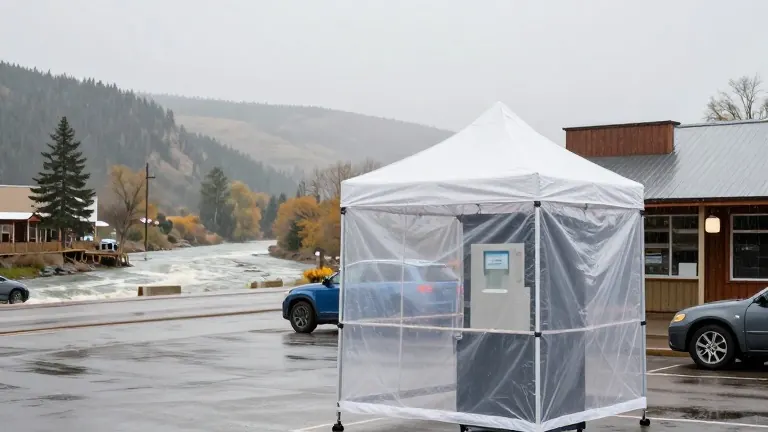
The wet weather will continue into Tuesday and Wednesday. Light to steady rain is forecast for Election Day, prompting officials to remind voters to prepare for inclement conditions at polling stations. A second surge of moisture will bring moderate to heavy rain to the southern valley and southeast viewing area on Wednesday. Morning showers will linger in Minnesota before the system departs in the afternoon.
Temperatures will reflect the seasonal transition. Monday will be the warmest day of the cycle, with highs in the 50s. Cooler air will lower highs into the 40s and drop lows into the 30s for the remainder of the week. The 7-day forecast shows a rebound to near 50 degrees by the weekend.
Once the low-pressure system exits on Wednesday afternoon, the region will transition to a drier outlook. Partly to mostly cloudy skies are expected through Sunday. Highs will range from 46 to 52 degrees, while lows will hover between 32 and 44 degrees across the coming days.
Source: KVLY-TV