Pueblo Forecast Calls for Clear Skies Before Weekend Weather Changes
Southern Colorado will remain calm and clear on November 12, with rain and mountain snow expected to arrive later Saturday.
By Luis Fernandez ·
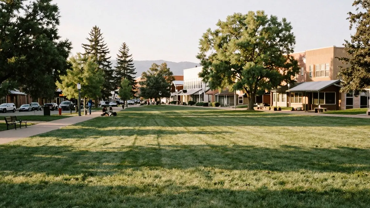
Pueblo is forecast to reach 68 degrees on November 12 as clear skies and calm conditions continue across southern Colorado. The mild afternoon will follow a start in the lower 30s, with temperatures returning to the 40s during the evening. Pueblo’s overnight low heading into Friday is expected to be 35 degrees.
The pattern remains largely unchanged across the region, with many communities expecting afternoon temperatures in the 60s. A high-pressure system moving over Colorado is keeping conditions calm and clear along the southern Interstate 25 corridor. Walsenburg is forecast to reach 62 degrees before falling to 35 overnight, while Trinidad is expected to reach 66 with a low of 36.
In Colorado Springs, temperatures will climb from the 30s in the morning to a forecast high of 65 degrees. Skies will stay clear, with north winds of 5 to 10 mph and an overnight low of 36. Canon City is expected to reach 66 degrees, followed by a low of 41. Its afternoon forecast closely resembles the previous day, with morning lows continuing in the lower 40s.
Woodland Park will be cooler, although its forecast high of 57 degrees remains above average. Clear conditions are contributing to a chilly morning in the lower 30s, and the overnight low is forecast at 33. In the Tri-Lakes area, including Monument and northern El Paso County, temperatures will rise from the 30s to a high of 61.
Calm, clear weather in the Tri-Lakes area is expected to last into Friday. Evening temperatures will fall into the 40s before reaching an overnight low of 35. The eastern plains also face little change, with light northerly winds, afternoon highs in the 60s and lows in the 30s.
Mountain communities will begin the day with temperatures in the 20s and 30s, followed by afternoon highs in the 50s and 60s. Chilly mornings are expected to persist through the weekend, when snow enters the forecast for the southwestern and central mountains.
The broader forecast begins to change later Saturday, with rain and snow expected to arrive. Afternoon temperatures along Interstate 25 will be in the 50s, but snow is considered unlikely along the corridor.
Looking further ahead, cooler and wetter conditions are possible during the middle or latter part of next week. For now, the near-term outlook remains dominated by clear skies, mild afternoons and colder evenings before the weekend shift.
Originally published by News Media House