Atmospheric rivers target Oregon and Washington this weekend
Back-to-back moisture bands threaten the West Coast with flash floods and 20-foot swells as King tides rise.
By Jillian Foster ·
Residents in Oregon and Washington face a weekend of intense weather as two atmospheric rivers converge on the Pacific Northwest. The first system will arrive on Friday, followed immediately by a second one on Saturday. These weather patterns are landing while high tides and rising sea levels stress coastal infrastructure.
The back-to-back timing creates a specific hazard for local communities. Josh Weiss, a meteorologist at the National Oceanic and Atmospheric Administration's Weather Prediction Center, warned that multiple atmospheric rivers hitting in quick succession can cause compounding impacts. These consequences include flash flooding, urban flooding, and landslides.
Atmospheric rivers are narrow bands of water vapor driven by wind. F. Martin Ralph, director of the Center for Western Weather and Water Extremes at UC San Diego, described them as literal rivers in the sky. These bands can stretch up to 2,000 miles long and reach 600 miles wide. They are responsible for 50 to 60 percent of the rainfall in California.
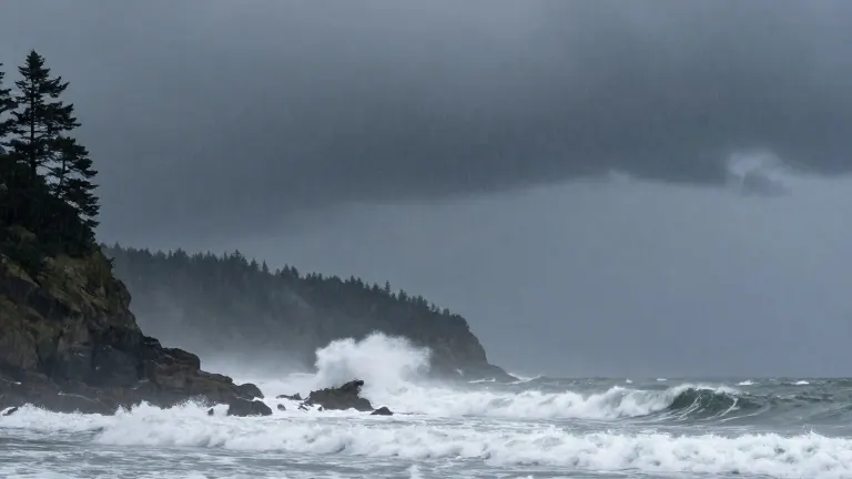
The current season, which runs from October through March, is starting early. Earlier this week, two other atmospheric rivers already deposited multiple inches of rain across both states. For this weekend, Jeff Michalski of the National Weather Service in Seattle predicted that the Washington coast could see 20-foot swells. These large waves coincide with annual King tides, which put inland waterways and coastal areas at risk.
Ralph noted that atmospheric rivers are a natural climate pattern rather than an anomaly. He cited 40 years of Federal Emergency Management Agency data showing that 90 percent or more of flood damage in the Western United States results from these systems. While the public often recognizes them by nicknames like the Pineapple Express, the term refers to the origin point of the moisture band. A Pineapple Express that crossed from Hawaii in late October caused severe flooding and deaths in the Four Corners region.
Scientists continue to study how these systems interact with ocean temperatures. Ralph previously theorized that warm El Niño waters might strengthen atmospheric rivers, but his research found no such direct link. He stated that the rivers do not dance to the tune of El Niño. Climate scientists also lack sufficient data to connect these specific weather events to human-caused global warming, though a warmer atmosphere generally holds more water vapor.