Fargo Weekend Weather: Temperatures Rise After Frosty Start
Fog and frost mark the start of the week, but a warm air mass brings above-normal temperatures for the firearm deer opener.
By Martin Reynolds ·
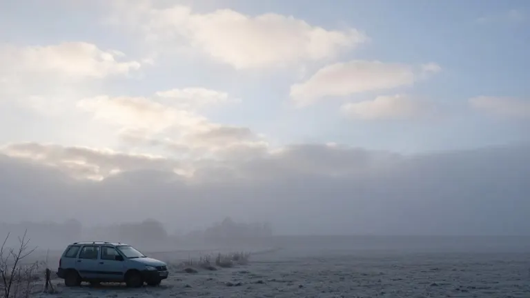
Fargo residents began Friday with dense fog and frosty ground temperatures. Clear skies, light winds, and a cool high-pressure system drove overnight lows into the 20s and low 30s. Freezing fog formed in parts of the region, creating slick conditions for early commuters and outdoor workers. The fog was expected to lift by midday, clearing the way for a weak front to move through the area.
The shift in weather began as the high pressure system lost its grip. A weak frontal boundary introduced scattered clouds across the region on Friday afternoon. These clouds were scheduled to break up during the evening hours. South winds picked up, blowing at 5 to 15 mph. Afternoon highs reached the 40s, a range that is near average for this time of year in the Fargo area.
The temperature trend reversed sharply over the weekend. Warm air moved into the region, pushing lows into the 30s and highs into the 50s. These values sit above the normal range for early November. The warmer conditions coincide with the start of the firearm deer season in Minnesota. Hunters are expected to head into the fields during this period. Saturday morning may feature patchy fog, but otherwise the weekend should remain dry.
The outlook for the coming week points to continued warmth. Temperatures are projected to stay above normal through mid-November. The coolest days will arrive in the middle of next week, when Canadian air pushes into the area. Until then, residents can expect lows in the 30s and highs ranging from the upper 40s to the mid 50s. High pressure will dominate the pattern, keeping the air dry and stable.
Forecast models suggest a small chance of isolated rain toward next weekend. Until that potential shift, skies will remain partly sunny. The dry conditions are consistent with the stable air mass currently influencing the region. This pattern supports the upcoming outdoor activities and hunting seasons without significant precipitation interference.
The seven-day forecast for Fargo reflects this warming trend. Saturday is set to be partly cloudy with a high of 56 degrees. Sunday will be partly cloudy with a high of 54 degrees. Monday brings the week's warmest high at 58 degrees. Temperatures will dip slightly midweek, with highs in the low 50s on Tuesday and Wednesday. Thursday will see morning clouds clearing to afternoon sun, with a high of 51 degrees.