Pittsburgh Dry Stretch Hits Day 15
Unseasonable warmth persists through the weekend as high pressure blocks precipitation in the metro area.
By Diego Mendoza ·
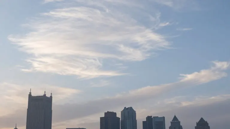
The Pittsburgh metro area entered its 15th consecutive day without measurable rain today. High pressure systems dominate the region, producing calm winds and cool morning temperatures. Areas outside the urban heat island of Pittsburgh recorded highs in the mid-30s, while inner city locations reached the lower 40s. Daytime temperatures will climb to the lower 60s today.
Cloud cover will increase over the weekend due to upper-level winds moving from the Midwest and Plains States. However, dry air in the lower atmosphere will prevent these clouds from producing precipitation. Winds will shift to a southerly direction on Sunday, initiating a process of warm air advection. This shift will raise Sunday daytime highs to the mid- to upper-60s.
Forecasters expect daytime temperatures to remain in the 60s and low 70s through the following week. Tuesday and Wednesday will be the warmest days, with highs running 15 to 20 degrees above normal. The current dry spell began under a persistent high pressure system that has influenced the region since October 17.
This high pressure pattern may begin to break down between Thursday and Friday. A weather system currently off the West Coast is moving east, driven by strengthening jet stream winds in the Pacific Ocean. Most computer models indicate this system will cross the Pittsburgh area on Thursday, with a potential secondary wave arriving on Friday.
Rainfall amounts are expected to be light. The precipitation will end the current dry streak but will not produce heavy totals. Forecasters see no immediate signs of a major cold air mass. A strengthening Pacific jet stream will push mild air across the United States for the next two weeks.
Source: KCNC-TV · original report published