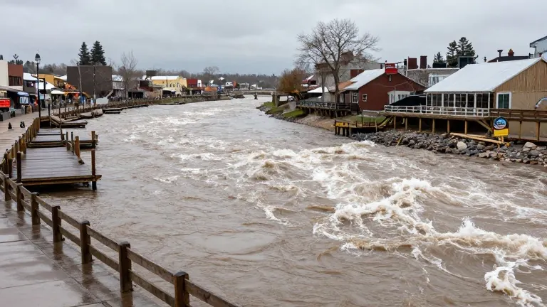
Second Flood Wave Hits Colorado Towns
Mandatory evacuations return to Pagosa Springs and other southwest Colorado communities as rivers rise above previous records.
By Neha Kapoor ·
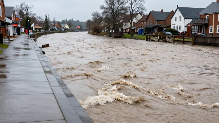
Pagosa Springs, Colorado, residents received another mandatory evacuation order on Sunday as the San Juan River began to rise again. This second wave of flooding arrived less than two weeks after the first storm devastated the area.
The National Oceanic and Atmospheric Administration projects the San Juan River will crest at 21.87 feet by 11 p.m. Sunday. That level is 6 feet higher than the flood that struck 10 days earlier. It also stands about 4 feet above the record of 17.8 feet set in 1911.
Officials from the Archuleta County Sheriff’s Office noted that the 1911 flood wiped out most of the town as it then existed. They urged residents not to wait for the water to rise or for another warning. They stated that their ability to respond during the storm would be extremely limited.
Sheriff’s officials warned that helicopters would likely be grounded. They said first responders might not be able to reach people in danger until the storm passed. The office described the event as potentially catastrophic and expected extensive damage.
Mandatory evacuations on Sunday afternoon covered low-lying areas in Archuleta County. This included zones along the Rio Blanco, Navajo, Piedra, and San Juan rivers. Downtown Pagosa Springs was included in the order. Residents along Stollsteimer Creek next to U.S. 160 also had to leave.
The previous storm damaged more than 500 homes and 150 miles of road in Archuleta County. That event stranded dozens of residents. It also impacted 11 other counties in the southwest state, though damage assessments for those areas were still incomplete.
Evacuation orders also took effect in Rio Grande and Mineral counties. These orders applied to residents along the South Fork of the Rio Grande River, including Del Norte and South Fork. Monte Vista remained on pre-evacuation status. The Rio Grande was forecast to reach 9.5 feet near South Fork by Sunday night, surpassing the previous crest of 9.03 feet.
Near Monte Vista, the river was expected to hit 10.5 feet by 5 a.m. Monday. The previous crest in that location was 9.37 feet. The Conejos River near Mogote was expected to reach 8.2 feet by Monday morning, up from 7.88 feet during the last storm. NOAA classified all these levels as major flooding.
The Conejos County Sheriff’s Office ordered mandatory evacuations from Platoro to Mogote in the Conejos River Canyon on Sunday morning. The rest of the county stayed on pre-evacuation notice. Officials told residents to leave immediately and be prepared to stay away from home for multiple days.
The National Weather Service issued a flood watch for the San Juan Mountains and several southern river basins through Tuesday. This included Alamosa, Creede, Del Norte, Durango, Mancos, Monte Vista, Pagosa Springs, and South Fork. A separate flood warning covered the San Juan River in Pagosa Springs until Monday evening. Forecasters labeled the situation particularly dangerous. Heavy rain would turn to snow above 10,000 feet, with over a foot of snow expected to make travel very difficult to impossible.
Source: The Denver Post · original report published